Richlands Community Cemetery
The following is a transcription of the Richlands Community Cemetery located at the Richlands Townsite (12 Hammond Road) in Cherryville, British Columbia, Canada.
Location
- Latitude: 50o12' 38.48" N.
- Longitude: 118o36' 21.48" W.
Historical Background
The Richlands Community Cemetery was established as a non-denominational cemetery in the 1990's on land owned by the Seventh-Day Adventist Church.
The cemetery is located in an area known in the early 1900's as the settlement of Richlands. The original schoolhouse built in 1910 is situated on the south side of the cemetery. The building was used from 1910-1918 and again from 1936-1951. The school district later sold the building and land to the Seventh-Day Adventist Church.
The townsite of Richlands was situated west of the cemetery and boasted a general store, post office, livery stable, butcher shop, blacksmith shop, lodgings and an irrigation system. The surrounding area was divided into 10-acre lots with the intention of enticing English and American immigrants to use the land for orchards.
Layout
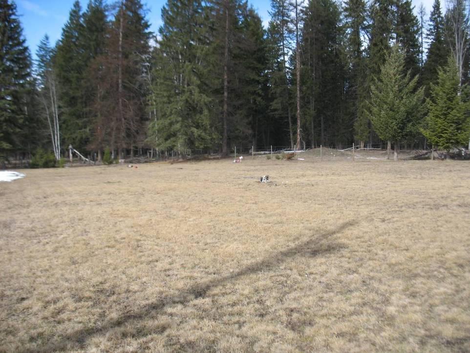
The cemetery is approximately half an acre in size and well maintained. It is enclosed by a wire fence on the north and west sides, the south side is bordered by trees and the east side by Hammond Road. The graves are laid out east/west. The first burial in the cemetery was Pastor Warren Matheson who is buried in the centre of the cemetery.
The majority of the monuments are simple blocks made of marble and granite. In addition, there are two flat markers and one rock with the inscription stencilled onto it.
Driving Directions
The cemetery is located approximately 58 km east of Vernon.
To access the cemetery travel east on Highway 6 to Cherryville.
From Frank's Store in Cherryville continue to travel east along Highway 6 approximately 8.8 km to Creighton Valley Road.
Turn west (right) onto Creighton Valley Road and travel west approximately 2.7 km to the intersection of Hammond Road.
Turn north (right) onto Hammond Road.
The Seventh-Day Adventist Church and Richlands Community Cemetery are located on the west side of Hammond Road.
Note: The cemetery is located north of the Richlands School building.

Burials:
The interments for the Richlands Community Cemetery can be viewed as a pdf file here » interments.pdf
Additional sources of information:
- Marg Myers (Cherryville and Area Historical Society)
- Gordon Myers (Richlands Historic Flume Trail Society)
- Vernon Morning Star
Last updated September 2011